The GR10 hiking across Ariège
The GR10 hiking across Ariège from east to west
Ariège is a region of huge granite blocks, full of lakes mostly unknown to tourists as you often need to walk for 3 hours or so to reach them. The GR10 hiking path is a marvellous way to discover all this beautiful scenery. In fact Ariège is the most specialised stage of the GR10 which runs across the whole of the Pyrenees. Although its mountains culminate at less than 3,000 metres, except for the 3 peaks of ""Montcalm – Estats - Sullo"", its valleys, ridges and peaks have a unique, arid, untamed look, but despite their wild appearance, all the summits are easy to climb along unobtrusive routes. Even place names are different here as lakes are not called ""lacs"" but ""étangs"".
In Ariège, the GR10 crosses several well-known landmarks from Lac de Bethmale and Mont Valier in the Couserans region to the summit of the Plateau de Beille and the sulphurous spring waters of Merens in Haute-Ariège. The GR10 is not just a hiking path, it’s a discovery trail of the different facets of the Ariège mountains !
The section from Aulus-les-Bains to Mérens in Haute-Ariège is a transition region between the western and central zones of the Pyrenees and the part of the mountain range which is in Ariège. It has a very particular landscape of high plateaux of summer pastures highly suited to pastoralism, steep-sided valleys against a backdrop of summits, some snow-capped, and mountain lakes with ever-changing colours. After an active day crossing this landscape, a gourmet Ariège supper will recharge your batteries for the following day. After Aulus, the staffed mountain refuge at Bassiès surrounded by lakes more than fulfils anyone’s longing for wide-open spaces. Next in Vicdessos, discover old circular dry-stone buildings known as ‘orris’ and understand the age-old farming practice of pastoralism in the Auzat Valley. After a final stopover at the staffed mountain refuge at Rulhe you arrive in Mérens, on the edge of the Capcir region (and Andorra). You are sure to want to come back to Haute-Ariège !
Discover the Réserve du Mont Valier

Don’t miss the Réserve du Mont Valier ! Created in 1937, it is one of the oldest nature reserves in the Pyrenees and is the largest in Ariège with an area of 9,037 hectares. 14km of its southern border backs onto Spain. This vast protected area has retained a wild appearance in which deep, steep-sided river valleys alternate with glacial craters and in the centre, the majestic Massif du Valier which culminates at 2,838m. The Réserve du Mont-Valier has been managed since its creation by the Office National des Forêts.
The Reserve has some amazing wildlife : izards, capercaillies, rock ptarmigans, Iberian partridges, eagles, bearded vultures and griffon vultures are just a few of the stars of the Reserve. Marmots were introduced to the region in the 1960s. The mountains are also home to many birds like the water pipit, northern wheatear, redstart, alpine accentor and rarer species like the white-winged snowfinch, ring ouzel, rock thrush and even the discreet wall creeper. The plant life is typical of the central Pyrenees.
Pastoralism is still widely practised. Around 6,500 sheep graze the summer pastures of the Reserve, an essential part of mountain life, keeping the pastures, which are also used by wild ungulates, and the beautiful scenery in good condition.
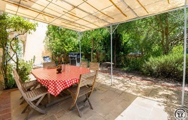
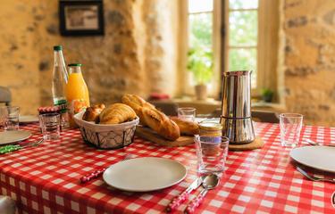
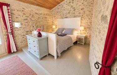
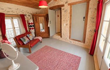
Another absolute must is the Auberge des Myrtilles, a small hotel near the GR10 on the edge of a pine forest at 1,000m altitude in the heart of the Parc Naturel Régional des Pyrénées Ariégeoises. And whatever you do, don’t forget to try one of the emblematic dishes of Ariège, ‘azinat’ local pork and cabbage hotpot !
Useful information :
The topo guide « Pyrénées Ariégeoises - GR10, Tour du Val du Garbet et Tour du Biros » contains IGN maps, detailed descriptions of routes, accommodation, resources, tourist information, etc."
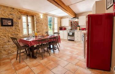
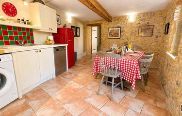
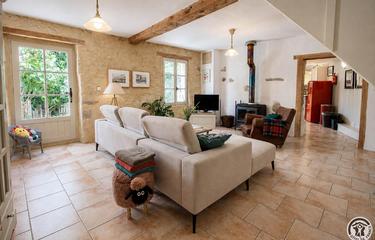
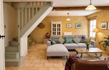
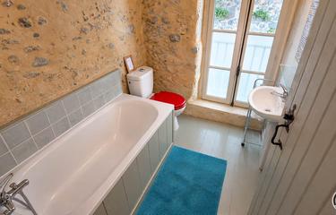
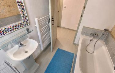
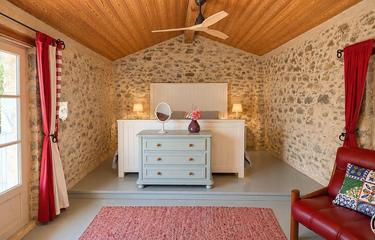
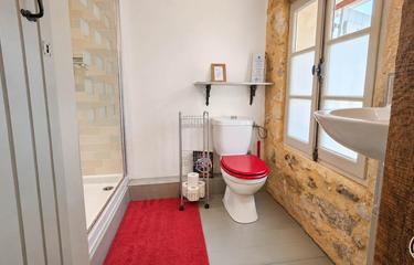
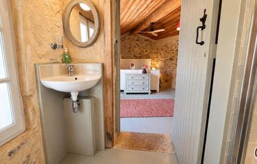
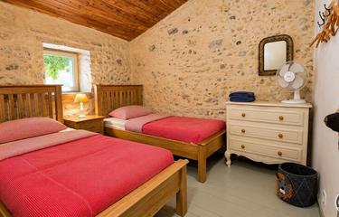
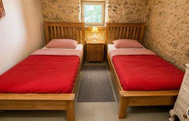
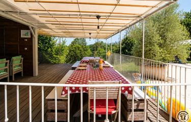
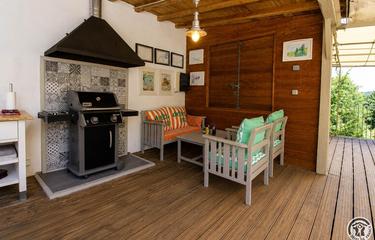
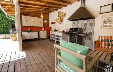
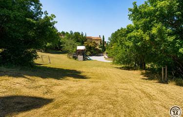
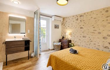
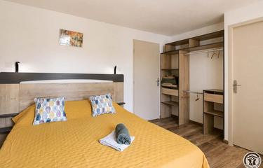
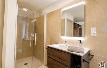
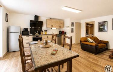
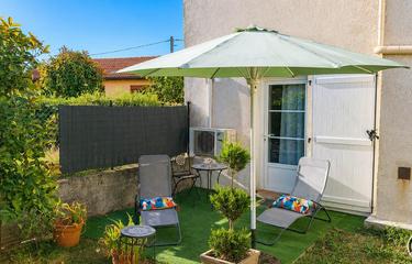
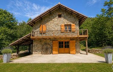
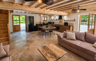
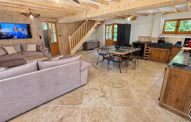
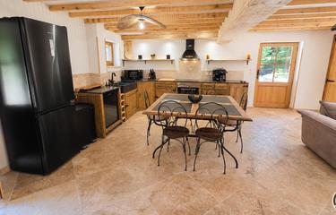
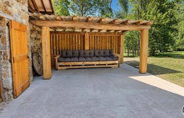
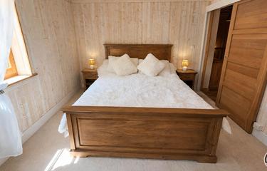
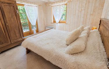
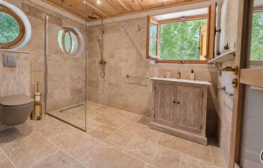
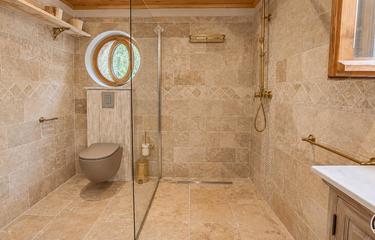
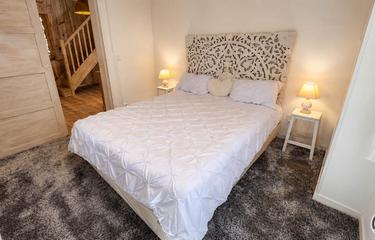
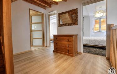
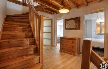
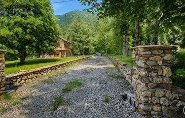
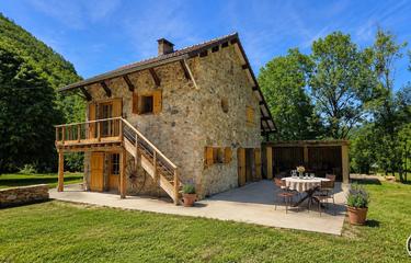
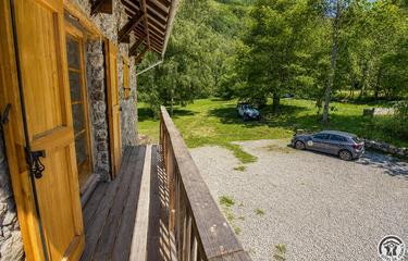
Our selection of accommodations
Our new accommodations